Darfak Peak Rudbar
Information
Description
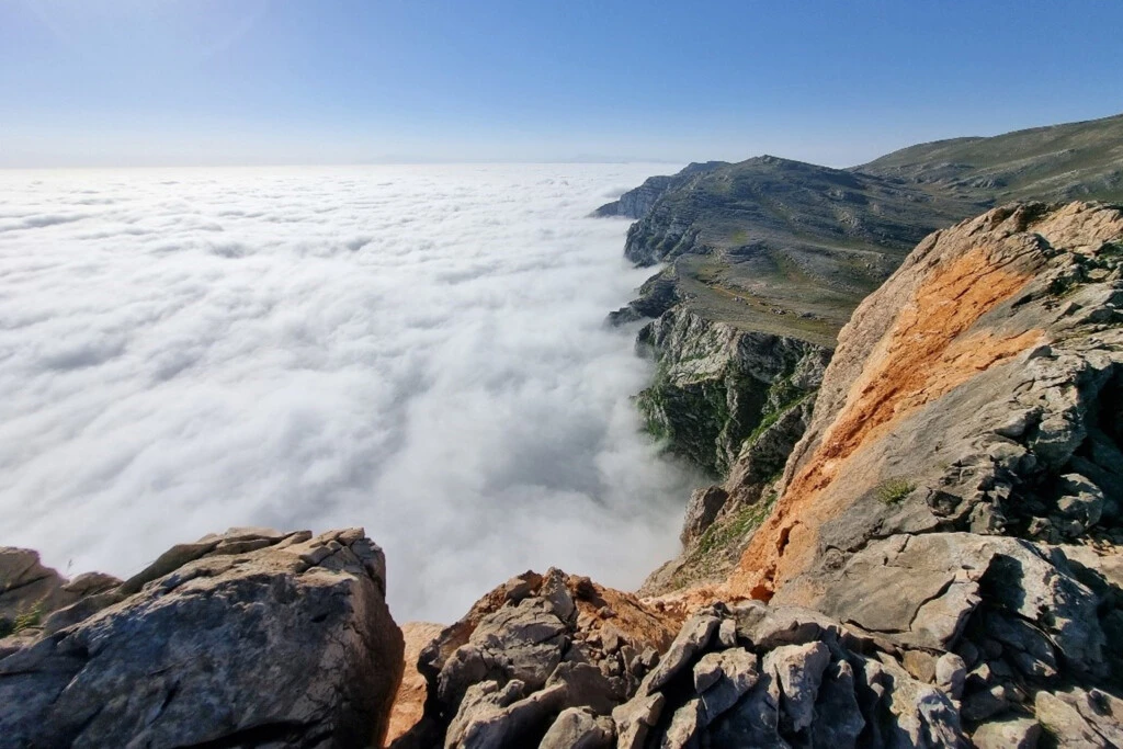
Darfak is one of the most beautiful peaks of Gilan. This peak is located in Gilan province and in the central Alborz mountain range, 27 kilometers northeast of Rudbar county, at an altitude of 2733 meters, and extends to the Se Hezar valley of Tonekabon. Darfak is an extinct volcanic peak and according to mountaineers, it collapsed during the Rudbar earthquake in 1990 (1369 in the Iranian calendar), accelerating its erosion process. There was also an ice cave about 100 meters long in this area that supplied drinking water to the local people. The snow accumulated inside this cave turns into a glacier in winter, which locals use to water their livestock. The best time to climb this peak is in autumn, because its dense and unique forests with colorful leaves, thick cotton-like clouds, and dense fog create a dreamlike scene. Climbing Darfak peak can be done in one day and there are two different access routes:
Route 1: From the Deylaman side, which is an easier path for climbing.
Route 2: From the Rostamabad and Tutkabon side, which is relatively technical and a bit more difficult.
The name Darfak originally was Dal-fak, derived from the combination of two words: Dal (a type of eagle) and Fak (meaning nest), meaning eagle's nest.